


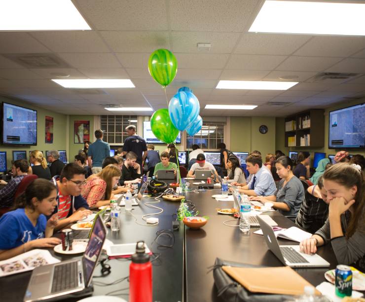
Students sit at laptops looking at maps.
Students taking geographical information systems courses put their learning to work during a Mapathon event in partnership with USAID, the World Bank and Kathmandu Living Labs. During the three-hour event, students used OpenStreetMap to digitally map the city of Kathmandu. Students focused on identifying schools, hospitals and other corridors that could help if an earthquake were to occur.